West Texas Trails Meeting 2014
WEDNESDAY, NOVEMBER 5TH, 2014
Portions of this article are reprinted from front page story in Caprock Courier, Nov 5, 2014, by Carol Campbell, and other parts are from the official program of the West Texas Trails Meeting and from notes of various attendees.
Comanchero Canyons Museum Co-Hosted The First West Texas Trails Meeting October 25, 2014
The inaugural meeting of the West Texas Trails met on October 25, 2014, in the Hope Center at Quitaque, hosted by the Comanchero Canyons Museum and the West Texas Historical Association (WTHA). Conference moderator was former WTHA president Marisue Potts, Matador, and WTHA Executive Director Tai Kreidler of the Southwest Collection, Texas Tech University in Lubbock.
About 70 guests from Colorado, New Mexico, Oklahoma, and Texas attended the all-day meeting with a packed program including presenters from Silverton, Quitaque, Lubbock, Amarillo, Seymour, Granbury, Crowell, Floyd County, Happy, and Fort Worth, Texas.
The keynote speaker was Dr. John Miller Morris, a Panhandle native from Clarendon, Texas, who currently is an Associate Professor in the Department of Political Science and Geography at the University of Texas at San Antonio.
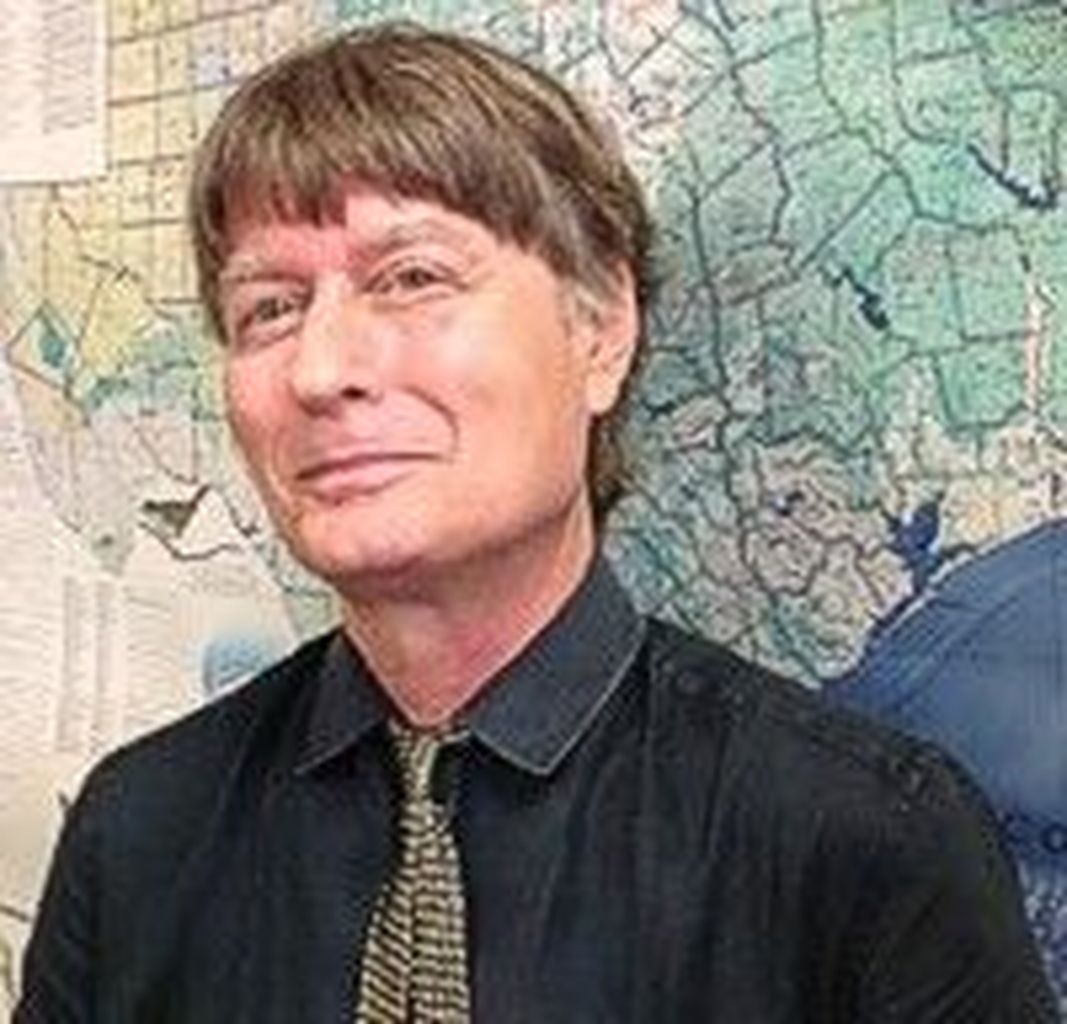
Dr. John Miller Morris, a Panhandle native from Clarendon, Texas, who currently is an Associate Professor in the Department of Political Science and Geography at the University of Texas at San Antonio.
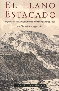
Dr. Morris is a geographer and historian specializing in historical geography of the American southwest. He has authored several books, including El Llano Estacado: Exploration and Imagination on the High Plains of Texas and New Mexico, 1536-1860; Coronado to Escalante: The Explorers of the Spanish Southwest; and A Private in the Texas Rangers.
Dr. John Miller Morris
The title of his keynote presentation was “Trails to Destiny.” He began by comparing West Texas trails to city trails: “wide open spaces to city grid lock; and pump jacks to car jacks;” then he took the audience on trails from our past into our future.
He outlined the first trails of man as “corridors of human travel” and then asked the question: “Why did we leave? Well, apparently human beings have a risk-taking gene, DRD4-7R, also known as ‘The Curiosity Gene’.”
“Peoples of Africa followed the migratory birds to North America; and the first human trail was 14,000 years ago by the Clovis people who followed animal trails to hunt for Alibates flint on the Canadian River. Buffalo figured out how to wander the vast Great Plains,” he said. “Vast herds used corridors of travel.”
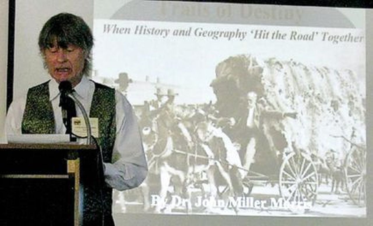
Dr. Morris speaking on “Trails to Destiny.”
Dr. Morris speaking on “Trails to Destiny.”
Then the “Trouble with Trails” began when the first Europeans set out to the north in 1538, hence the Coronado Trails. The Spaniards left their horses, and the horse cultures of the Indians in the Comanchero followed the Equine Trails. Horses provided mobility across the grasslands and they found watering holes, “The Path of Living Waters.”
New trails emerged – wagon and stagecoach trails, military trails, Alkali trails, Western Cattle Trails (Chisholm and Mobeetie). Then in 1882, the Iron Rail Trails emerged, looking for smooth, flat land – the shortest and easiest routes – cutting off smaller towns like Old Tascosa. 1909 ushered in the Age of the Automobile and the Asphalt Trails emerged.
Road networks by the early 1920s followed the Ozark Trail (first east-west auto trail), which actually comes right through Quitaque. Dirt trails were paved with caliche and asphalt. Route 66 in the Depression Era moved migrants to California. Morris concluded his comments with announcing “The End of the Trail” and “may all your trails be happy trails.”
Following the keynote presentation, “The Quitaque Connections” featured presentations on
- “Texan Santa Fe Expedition,” Jerry Leatherman, Silverton.
- "Old Wagon Road," Bob Saul, Fort Worth and Jim Saul, Quitaque.
- “Comanche Plunder Trail,” Duane Johnson, Crowell.
- “Mackenzie Trails,” Sam Watts, Floyd County and Granbury
- “Comanchero Trails — Internet Blogging and Web Technology,” Neal Odom, Happy
Jerry Leatherman, Silverton, who spoke on the 1841 Texan Santa Fe Expedition where 327 men (270 were soldiers and the rest were merchants, politicians, and teamsters) with 20 huge laden wagons with a wide range of supplies, horses, and oxen, left Austin, Texas, to find a western trade route to Santa Fe, NM. They attempted to follow old Indian trails up the Caprock Escarpment. When they met the cap rock barrier, they couldn’t get their wagons to the top. Running out of food, the party was harassed by the Kiowa who killed five of their men.
“They left a bloody trail,” Leatherman said. These trails and camps have been “discovered” by researchers, historians, and “arm-chair” archeologists. The most famous camp discovered was “Camp Resolution” where Commander Hugh McLeod drew up a resolution detailing the decision to split the command, and the site became known as Camp Resolution. He sent 100 men with the best horses to the top to find food and guides to rescue them.
“There were at least four sites where the military and wagon train camped,” Leatherman said. “They started in Motley County. Researchers have found Camp 1 and Camp 4, and we think we know where Camp 2 and Camp 3 are located, but it has not been verified.”
A. J. Taylor, who as a young archeologist assisted Eddie Guffee in the research and excavation of the Merrell-Taylor Village site, commonly known as a Comanchero trading post, recognized special guest Patti Guffee, who assisted with the investigation by her capable lab work and research. The late Eddie Guffee was recognized by the chairperson for his untiring work to locate the sites of the camps of Camp Resolution of the Texan-Santa Fe Expedition.
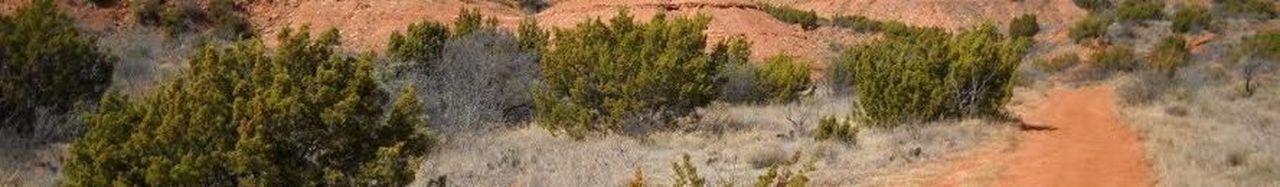
Photo of current-day ranch road that follows “The Old Wagon Road.”
A presentation by brothers Bob Saul, Fort Worth, and Jim Saul, Quitaque, told the story of the “Old Wagon Road” on their property on the caprock near Quitaque, Texas. Known on surveyors’ field notes and abstracts as “The Old Indian Trail,” this trail extends onto the plains and parts of it are still visible today. Local legend says this was the only trail in the region where a two-wheeled cart or a four-wheeled wagon could traverse from the breaks (canyons) to the plains, and even then they had to be “double-teamed” because of the steep terrain.
Duane Johnson, Crowell, spoke on the “Comanche Plunder Trail,” and Neal Odom of Happy, whose great grandfather worked for Col. Goodnight, spoke on the “Comanchero Trails,” internet blogging and web technology.
Delores Mosser of Lubbock spoke to the group on “The Pastores’ Trail of Living Water.”
Following a barbecue lunch at the Tri-County Center, the group toured the new Comanchero Canyons Museum in Quitaque. The centerpiece of the museum is a “carreta,” symbolizing the type of Mexican cart the Comancheros might have used in their trade with the Comanches in the Quitaque area. Exhibits on Texan Santa Fe Expedition, the Red River War, pre-historic and historic Indian artifacts, the Otho Stubbs collection and other personal collections and art are displayed, representing a five-county region.
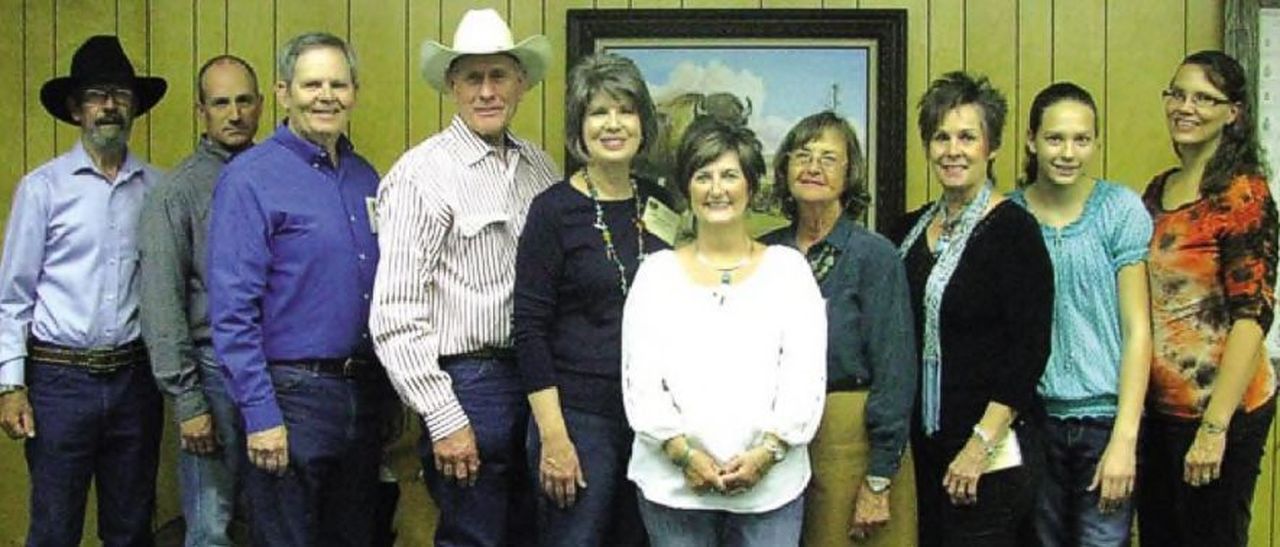
Comanchero Canyons Museum board members were on hand to greet guests from the West Texas Trails meeting. (L to R): Don Turner, Daniel Jenkins, Jerry Leatherman, Ron Carpenter, Jana Carpenter, Shonda Lee, Marisue Potts, Renee Dudley, Kayla White and Kim White.
The afternoon program kicked off with “Carson’s Military Trail to Adobe Walls,” by Alvin Lynn, Amarillo. The Motley County native hiked 200 miles and spent 14 years writing a book on the trail that he explored with boots on the ground. He recently led a tour to The First Battle of Adobe Walls.
“The Mackenzie Trails” by Sam Watts of Floyd County and Granbury followed with a discussion on archival maps. He found that some maps were not very accurate, but some “good maps” are currently being discovered in the state and national archives where they had been misfiled or misplaced, he said.
A third presentation, “Chihuahua Trade Trail” by Victoria Scism offered clues on how this crew chief documents their finds along an often faint trace. More information was forth-coming by Claude Hudspeth of San Angelo on using GPS, photographs, and software programs to document a trail. Hudspeth’s pet project is the California Emigrant Trail, including the Butterfield Trail, marked by wagon parts, a few ox shoes, and many graves. To conclude the emphasis on research and documentation, Tai Kreidler handed out a list of current digital maps available online at the Southwest Collection archives at TTU and offered their resources for research.
“The first inaugural meeting of West Texas Trails was such a huge success that hosts for the second annual meeting is now open for consideration,” Marisue Potts said. “The Comanchero Canyons Museum and the West Texas Historical Association are exceedingly pleased with the turnout of this consortium on historic trails. The interest displayed in the history of this rich and colorful region is writing a new chapter.”