Legends Surround the Quitaque Peaks
Written by historian Marisue Potts, 1986
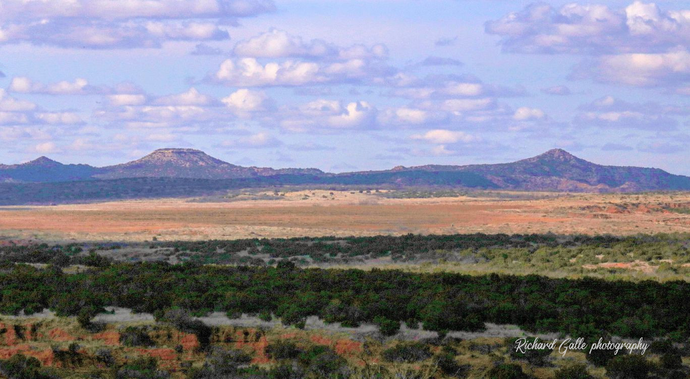
Photo of the Quitaque Peaks by Richard Galle
An aura of majesty and mystery encompass The Quitaque Peak, Old Flat Top, and Eagle Point, as they appear closer, bluer, or taller with the whims of the weather. Just as the three landmarks loom over the foothills of the Caprock, known to the Comancheros as the Ceja of the Llano Estacado or Eyebrow of the Staked Plains, so do the exciting and imaginative tales of days gone by overshadow the history of the area.
The name Quete Qua appears in many early day abstracts, and as suggested by that spelling, was probably of Indian origin. Some historians trace a connection between the name and the Quintacas, an obscure tribe in western Texas and eastern New Mexico that led Juan Mendoza on an expedition in 1683 from El Paso to the heart of Texas.
By 1880 the whole broad area from Palo Duro Canyon on the north to present day Turkey on the east, to the head of the Pease River on the south, to present day Tulia on the west, was known as the Territory of Quitaque. Now only the town and creek are known by that name.
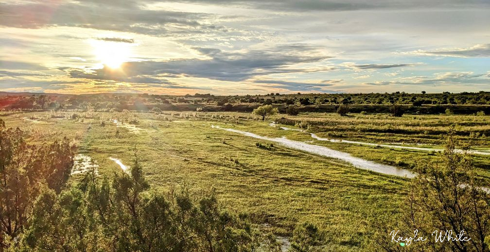
Photo of Quitaque Creek by Kayla White
The Quitaque Territory with its relatively mild climate was a haven to man and beast alike. The breaks provided wood for fuel, protection from sudden plains storms and howling winds, pure water in its streams, nourishing grasses, and abundant wildlife.
First the Apache, then the Kiowas, and later the Comanches, each warlike tribe held and controlled the valley in their own time, defending their stronghold against all invaders.
The Texan-Santa Fe Expedition of 1841, trying to regain its strength to cross the uncharted plains on the way to liberate Santa Fe or open a trade route, felt the Kiowas' fury. Some fifty Texans were massacred as they searched for a way onto the plains for their wagon train. The Kiowas made off with so many of the expedition's horses that in their oral history they renamed Swift Water Stream to The American Horse Creek.
The Expedition camped in three different sites near the confluence of the Las Lenguas and Quitaque Creeks, finding good pure water there that was So scarce in other places. The volunteer soldiers, merchants, adventurers were exhausted and weakened by the hardships of the journey from Austin. They had traveled blindly most of the way, without bread or vegetables, often without water, and lately without coffee, sugar, or salt. To supplement their meager diet of stringy beef, they scoured the hills for anything they could eat: snakes, terrapins, prairie dogs, hackberries, grapes, plums, cottonwood bark, and mesquite beans.
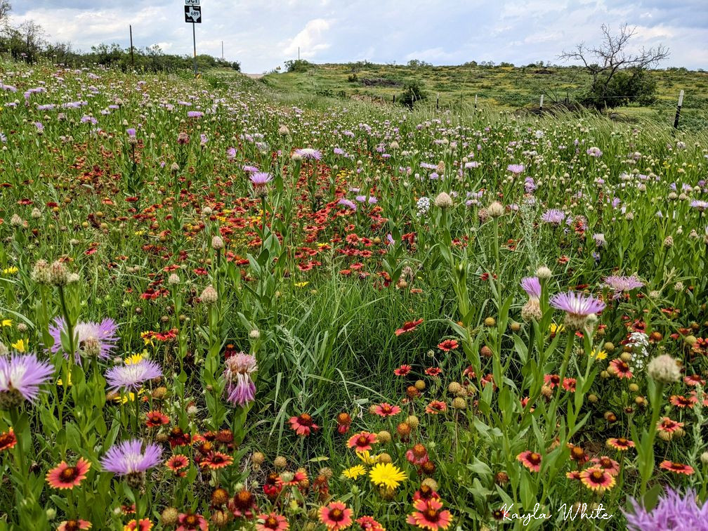
Photo of Native Wildflowers in the Camp Resolution Area by Kayla White
There on the Quintufue, as it was referred to in some of the men's journals, the officers deliberated on whether to burn the wagons and retreat to Austin or divide the command, try to reach the Mexican settlements, and send back help. Because the men resolved to continue on to Santa Fe, the camp sites became known as Camp Resolution.
The strongest 100 men with the best remaining horses left with scant provisions for five days. After two weeks of wandering on the Llano, they were captured by Mexican soldiers who forced them to march to Mexico City where they were imprisoned in hell holes.
Mexican guides sent back by the first party found the sick and depressed men waiting at Camp Resolution, and guided the walking men to the Caprock trail near Arroyo Atuley, camping near Cottonwood Springs. They ascended onto the plains about a mile south of the present day highway between Silverton and Quitaque. They too were captured and sent on La Journada del Muerte, journey of death, to Mexico City. Many men died from exhaustion, exposure, smallpox, and harsh treatment. Of those who managed to survive, most were relased by June of 1842 due to the diplomatic uproar the incident created.
When the Comanches raided the frontier settlements in Texas and Mexico, they trailed thousands of stolen horses back to the Quitaque. Horses were the wealth of the Comanches, representing status and a means to barter. More than one chief was said to possess as many as 3,000 horses personally. In the early 1800's the Antelope Band of the Llano Estacado reportedly had about 15,000 horses and 300 to 400 mules.
The valley with its wide vistas and high look-out points was a natural place for the Indians to turn the horses loose, maintaining a relaxed watch over the grazing animals. In addition, the southern herd of buffalo migrated nearby, wintering in the Palo Duro, providing an ample harvest of meat and skins.
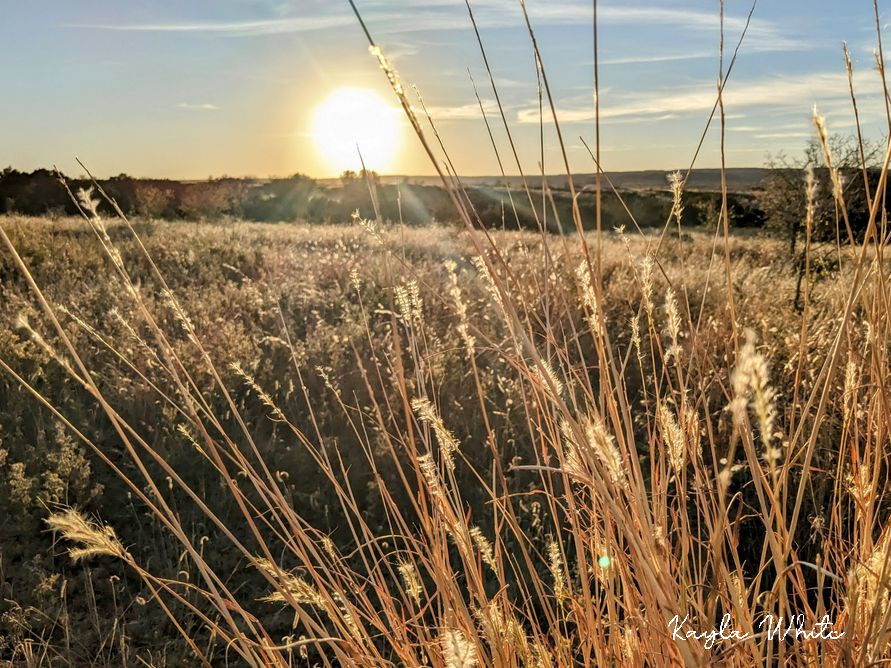
Photo of Grasses Near Quitaque Creek by Kayla White
Gradually from the New Mexican settlements a few renegade Mexicans called Comancheros ventured trade with the Indians, exchanging beads, bread, knives, trinkets, and whiskey for stolen cattle, horses, and captives. Before long Quitaque became the primary Comanchero/Indian market place, displacing Canon del Rescate, and Las Tecovas.
The rendezvous point for various tribes and the Comancheros, Rio de las Lenguas, River of the Tongues, heard many languages spoken on its banks in bartering for stolen goods or captives.
As the Comanches increased their raids on the frontier settlements, leaving death and destruction whevever they rode, many women and children were snatched from their families. Those who survived their captors harsh treatment were often brought to the valley. The white and Mexican women not kept as slaves, were traded to other tribes or to the Comancheros. Children and mothers, fearful of the uncertain future, were often separated and sent to widely separated points amid much crying and wailing. The New Mexican traders poignantly described the place as Valle de las Lagrimas, Valley of the Tears.
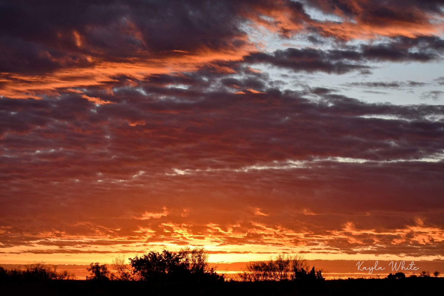
Photo of Sunset Near Quitaque by Kayla White
The captive children, if young enough, were often assimilated into the tribes, begin highly prized by the child-poor Comanches, and received comparatively good treatment. Cynthia Ann Parker undoubtedly spent some of her early captivity in the Las Lenguas area. She grew to love her wild Indian life and when freed many years later, grieved over the Indian family She was forced to leave. Her brother John became a fearless and cruel warrior on the Mexican-Texan border, showing no mercy for his own race.
When Colonel Ranald Mackenzie received orders to pursue and subdue the Indian menace, he led his men along the caprock seeking the enemy. In 1872, criss-crossing back and forth, he camped on the Middle Pease headwaters, and three times on the Quitaque Creek. Jim Stroup, the second white child born in Briscoe County, who grew up on the Quitaque, found many cavalry artifacts, (picket stakes, spurs, guns, buttons) over the years, evidence of these bivouacs.
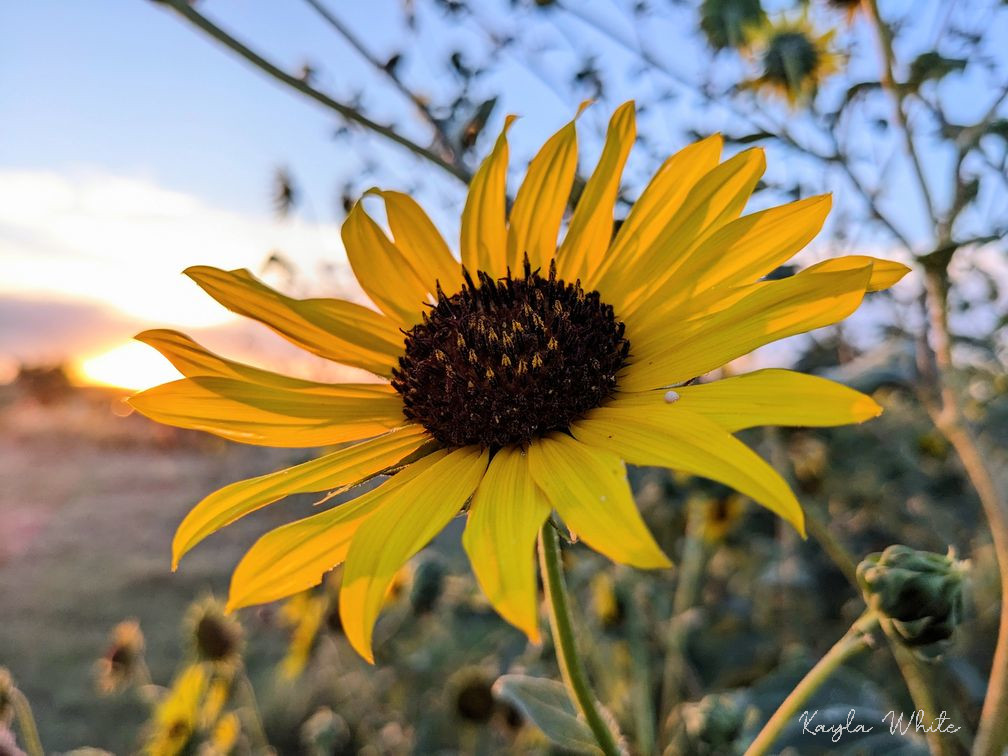
Photo of Wild Sunflower Near Quitaque by Kayla White
After the valley was purged of the buffalo by the hunters and the Indian by Mackenzie's persistent hounding, New Mexican pastores moved in with their sheep herds to fatten them for the New Mexico marketplace. Jose Tafoya established a trading post in 1865, and dwellings were built into the sides of bluffs and dugouts into the sides of the hills. In small out of the way canyons, remnants of the stone fences built by the pastores to contain their flocks are still found.
A canal, still visible to the first white settlers, irrigated crops and trees. A flood in 1893 swept away the canal and other obvious vestiges of the New Mexican influence, but in 1972 an archaeological survey on the Merrell ranch produced, among other things, a rifle, rifle barrels, a revolver, a coffee pot, bridle bits, and pieces of carretas, the traditional ox cart.
Today, these stories and legends are hard to believe as one drives through the pastoral valley with its freshly plowed red soil, contrasted by the blue tinged peaks and foothills silhouetted on the horizon. But can one pass Cottonwood Springs without thinking of the Texan-Santa Fe Expedition camping there before being led onto the plains to their surrender and capture?
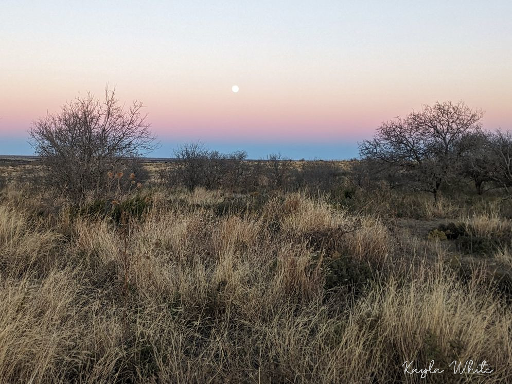
Photo of the Moonrise near Quitaque Creek, by Kayla White
Can one drive through the breaks without thinking of the hungry men who wandered away from camp to gather mesquite beans or plums, never to be heard of again? Can one forget that just over a nearby ridge Kiowa warriors cut out a soldier's heart, scalped and multilated him and his comrades? Or that thousands of horses or buffalo or cattle grazed where cotton and peanuts now grow? Or that amid their piteous wailing, mothers and children were torn apart never to see each other again?
On a bright fall night lit by a Comanche moon, the Peaks replay it all in one's imagination.